(Print) Use this randomly generated list as your call list when playing the game. There is no need to say the BINGO column name. Place some kind of mark (like an X, a checkmark, a dot, tally mark, etc) on each cell as you announce it, to keep track. You can also cut out each item, place them in a bag and pull words from the bag.
1
2
3
4
5
6
7
8
9
10
11
12
13
14
15
16
17
18
19
20
21
22
23
24
25
area with high population; urban (city)
The height of the land above sea level (elevation)
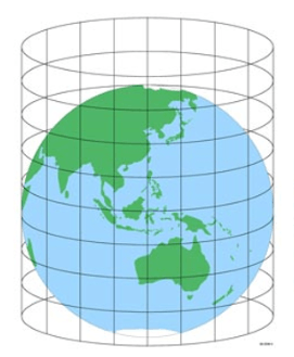
The process cartographers use to take a 3-D Earth and make a flat map (map projection)
half the globe (hemisphere)
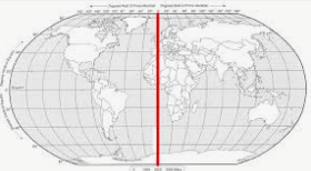
0* longitude splits Earth into Eastern/Western Hemispheres
(Prime Meridian)
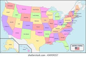
type of map that shows borders of states or countries (political map)
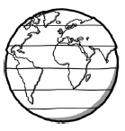
Known as parallels, these lines are horizontal and split Earth into northern/southern hemispheres (latitude lines)
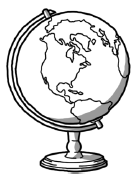
a spherical model of the Earth (globe)
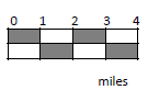
part of a map that shows distance (scale)
Also known as meridians, these lines are vertical and meet at the poles (longitude lines)
a representation of the Earth or part of the Earth on a flat surface (map)
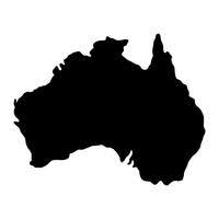
This continent is in the southern and eastern hemispheres (Australia)
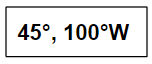
Uses latitude and longitude with numbers and degrees to find a location (coordinates)
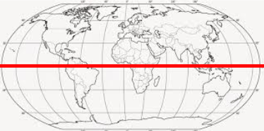
line at 0* latitude (Equator)
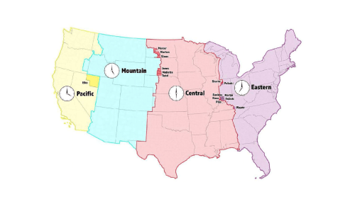
the 24 areas of the Earth designated to tell the time (time zones)
the type of location that is EXACT and not relative (absolute location)
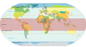
a special purpose map that shows the average temperature in the different regions of the Earth (climate zones)
map that shows elevation
This continent is in the northern and eastern hemispheres (Asia)
part of the map that tells what the symbols mean (key/legend)
a misrepresentation of the size or shape of an object (distortion)
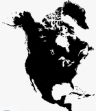
This continent is in the northern and western hemispheres (North America)
area with low population; (rural)
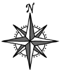
part of the map that shows directions (compass rose)
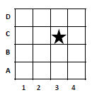
part of a map that helps find a location (grid system)